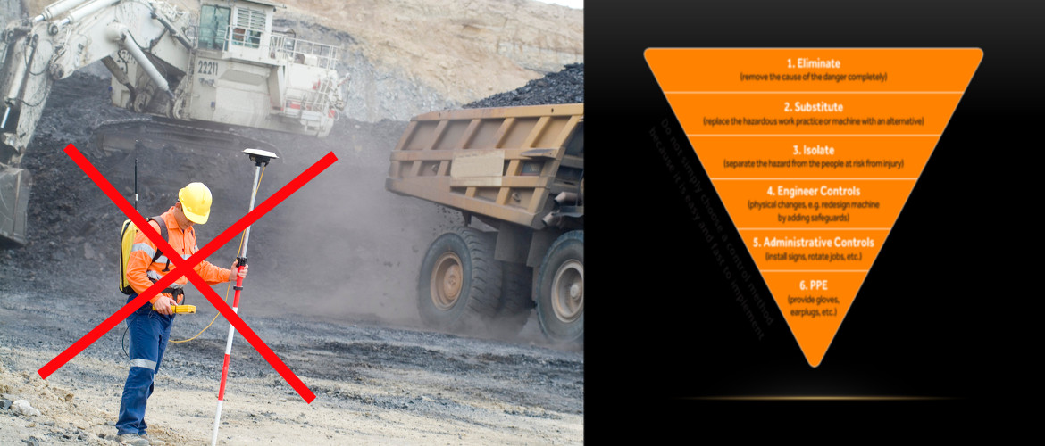
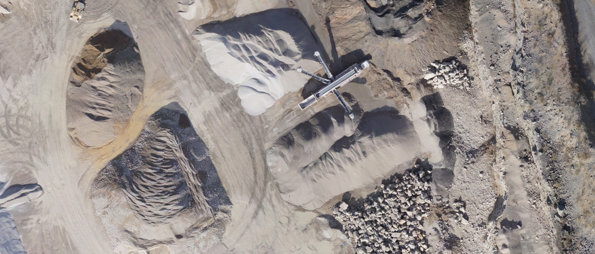
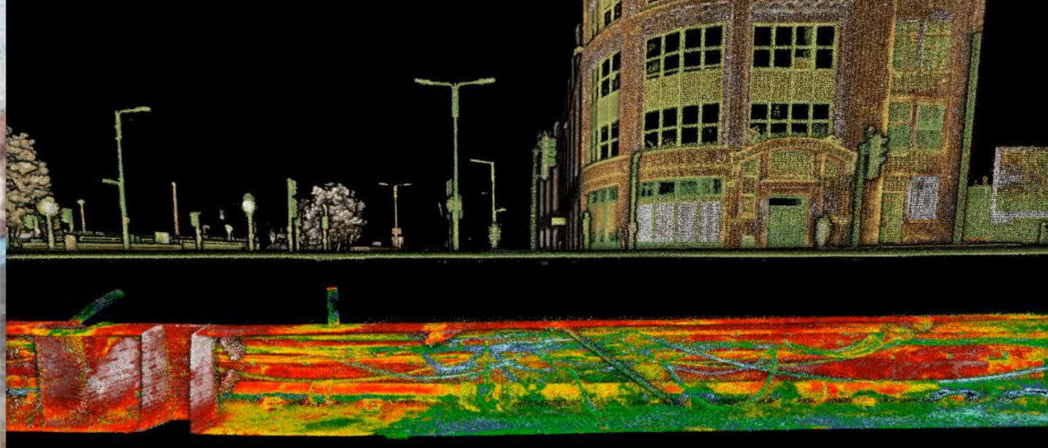
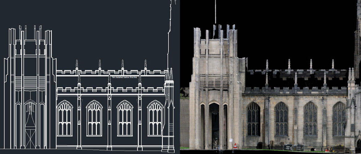
Aerial Inspection and Mapping Surveys is a complete remote, non-contact surveying and mapping solution dedicated to providing a detailed and professional service.
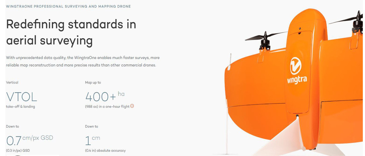
Utilising the Wingtra One PPK or our Wingtra Gen II with LiDAR the safest and most accurate VTOL drones, for mapping and surveying.
Combining vertical take-off and landing with long range flights, it carries the best in class cameras. This sets the new benchmark for survey grade accuracy.
Eliminating the use of Ground Control Points from the work flow, by activating the state of the art PPK, we now produce one centimeter accuracy and superior reconstruction results.
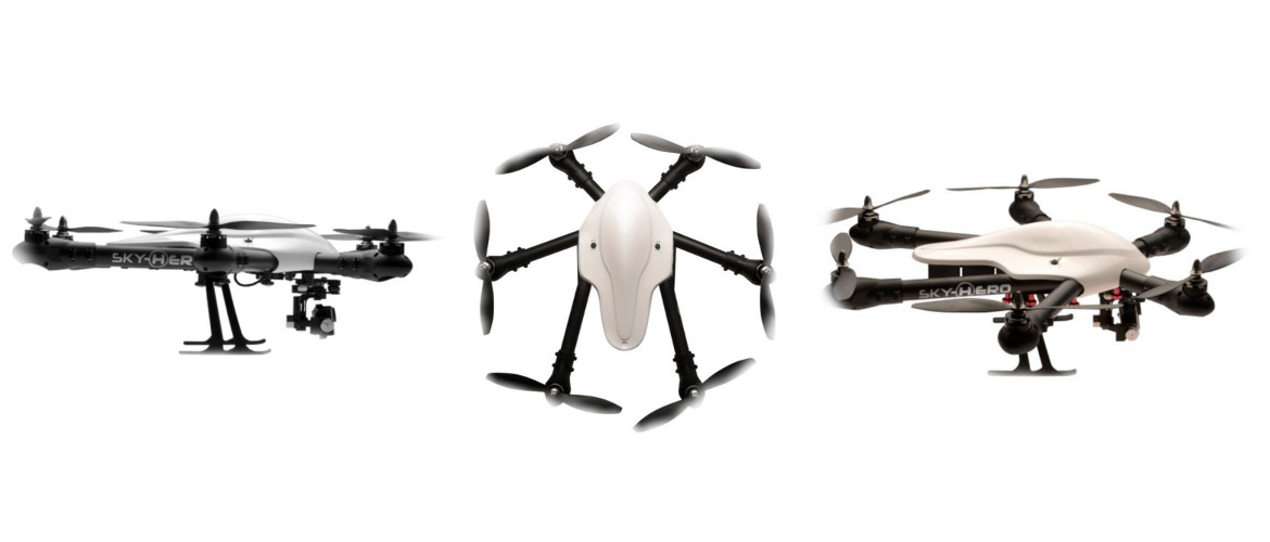
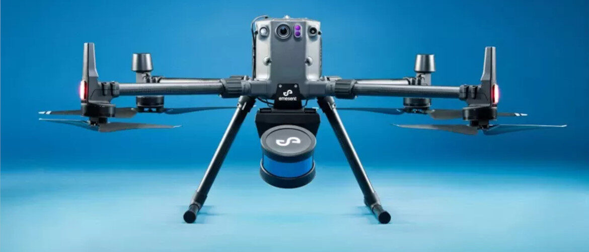
We also offer a Multi Rotor mapping solution with our DJI M300 with a Zenmuse P1, survey grade camera, with Smart Oblique Image Capture.
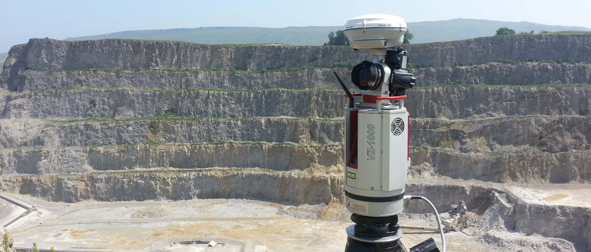
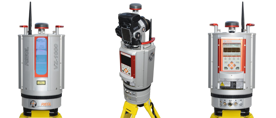
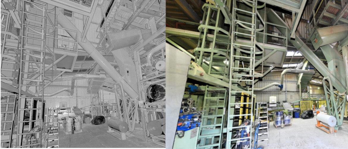
For terrestrial surveying and mapping we offer our Riegl VZ1000 or Riegl VZ400i high accuracy scanners when millimeter accuracy is required.
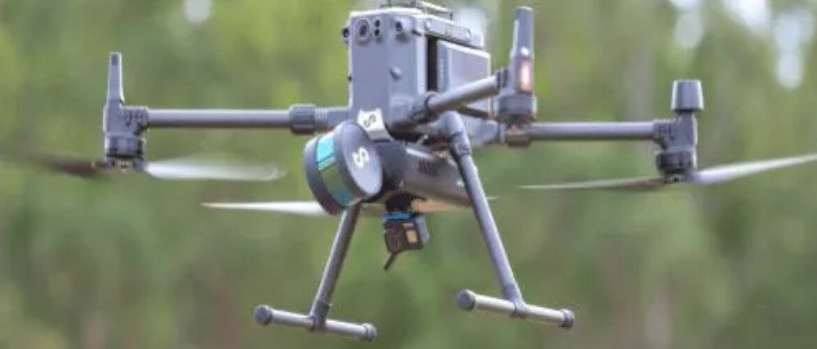
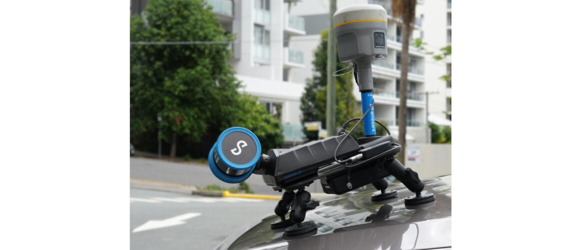
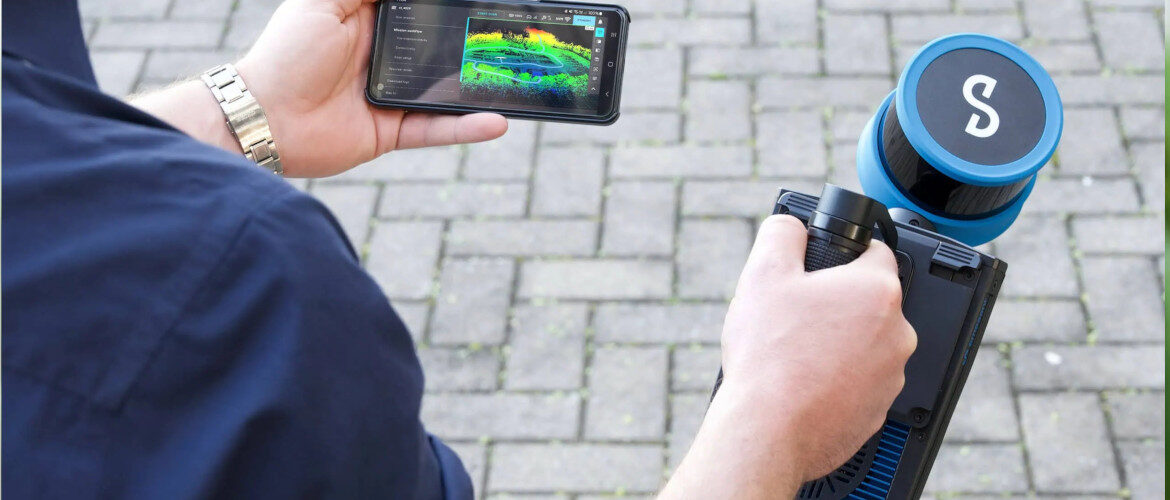
If a mobile mapping solution is required we utilise our Hovermap STX 15mm accuracy mounted on our DJI M300, on a vehicle, a backpack or handheld probably the most cost effective mapping solution.
